About McCargoe Cove Campground
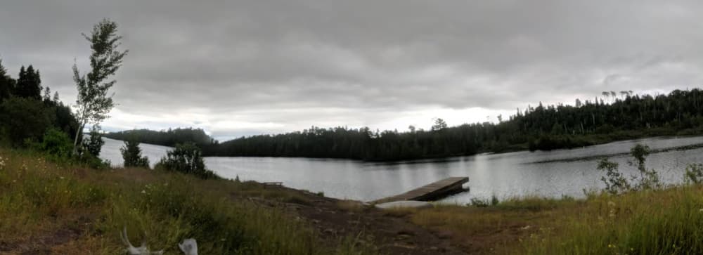
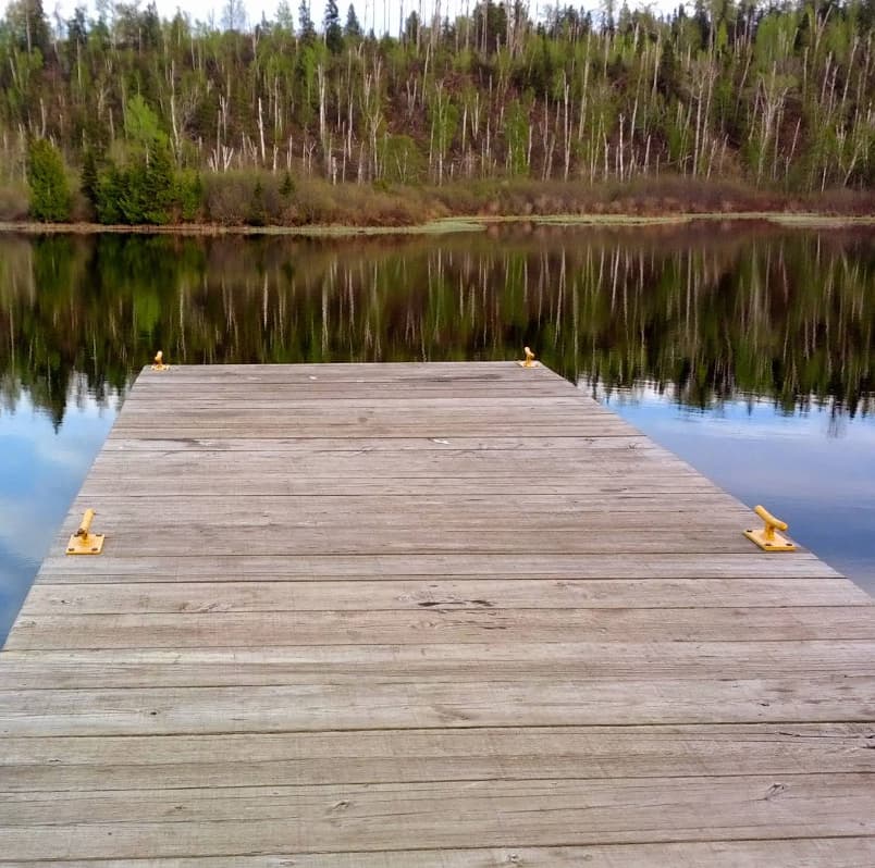
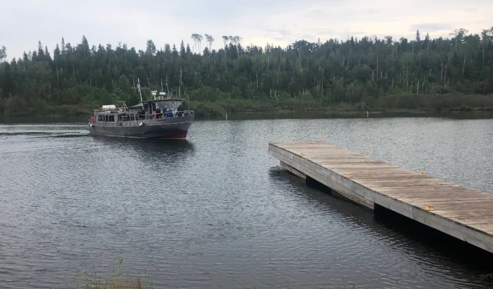
GPS Coordinates: 48° 5' 13.9056" N, 88° 42' 33.6564" W McCargoe Cove Campground is located in McCargoe Cove, on the north shore of Isle Royale National Park, off of the Indian Portage and East Chickenbone Trails. Boats can overnight at dock. Canoe/kayak access from Lake Superior or 1.2 mile portage from Chickenbone Lake. Stay Limit: 3 nights effective from June 1 Labor Day annually. Shelters: 6 Depth at dock (normal conditions): 7 . Access: Foot/canoe/kayak/private boat The campground also has a dock, making it a popular stop for boaters and fishermen alike. Visitors have spotted wildlife, including a friendly camp fox and even a moose nearby, adding to the charm of the area. Dock closures to accommodate passenger ferry and tour boat operations. Closures in Eastern time. McCargoe Cove is closed Mon/Wed/Sat from 2:00 pm to 3:00 pm https://www.nps.gov/isro/planyourvisit/boating-guide.htm
Facilities
Port Information
Telephone
Berth Sizes
Depth at MLW
Manoeuvrability
Channel Marking
Port of Entry
Overseas Visitor Berths
Dock Type
Style Side To
Tidal Flow
Active Winter
Weather Forecast
 NE 6 knots decreasing to 4 knots.
 15 to 19°C
 Calm sea
 Cloudy
- E 2–6 knots.
- 11 to 20°C
- Calm sea
 UV Index: 5 - Moderate
- Mostly fine
- Light and variable.
- 13 to 20°C
- Calm sea
- UV Index: 0 - Low
- Mostly fine