Trusted by mariners.
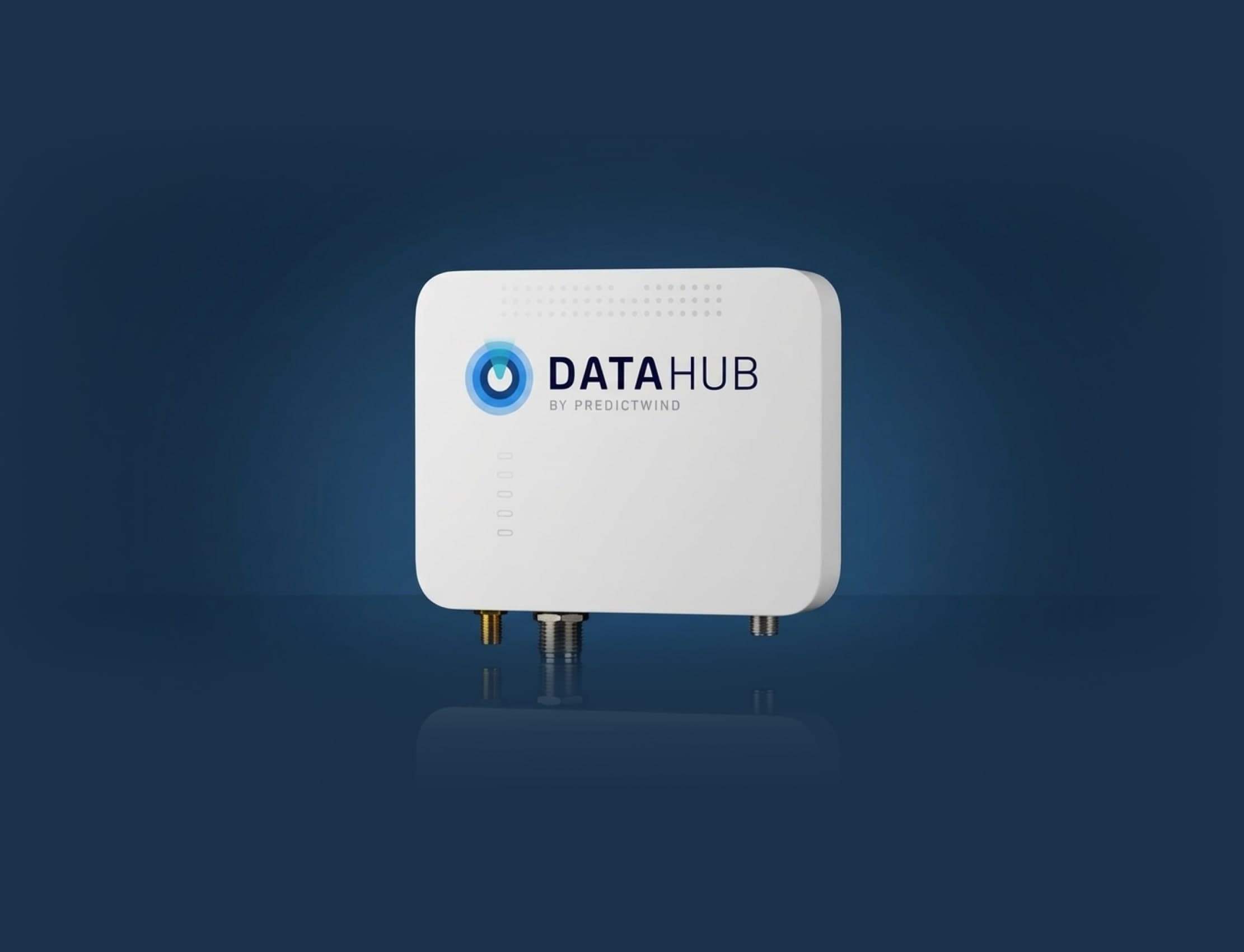
Reliable, intelligent, and built for the ocean, it brings GPS tracking, data sharing, and smart automation together to keep your systems seamlessly in sync wherever you go.

"The DataHub was able to broadcast our highly accurate Raymarine GPS over wifi to all our devices on the boat."
Herman Diebler
MV Kiwi

"Plug it into your NMEA network, it takes your live boat data and creates a customised polar for your boat. Phenomenal!"
James Evenson
SV Singaro

"The ability to program the wakespeed regulator and monitor my 360 amp alternator in the pilothouse is unprecedented."
Jeff and Ellen Hall
MV SeaDweller
The Official Tracking Solution for
Intelligent
connectivity.
With advanced GPS tracking, automated AI Polars that learn your boat’s performance, 300 NM AIS visibility, and an Anchor Alert app that keeps your boat protected, the DataHub provides smarter and safer boating.
26.6kt
Speed
217°
Course
23.1kt
Speed
191°
Direction
Essential Marine
Data Tools.
The critical data tools every mariner needs - simple, reliable, and built to keep you safe and in control out on the water.
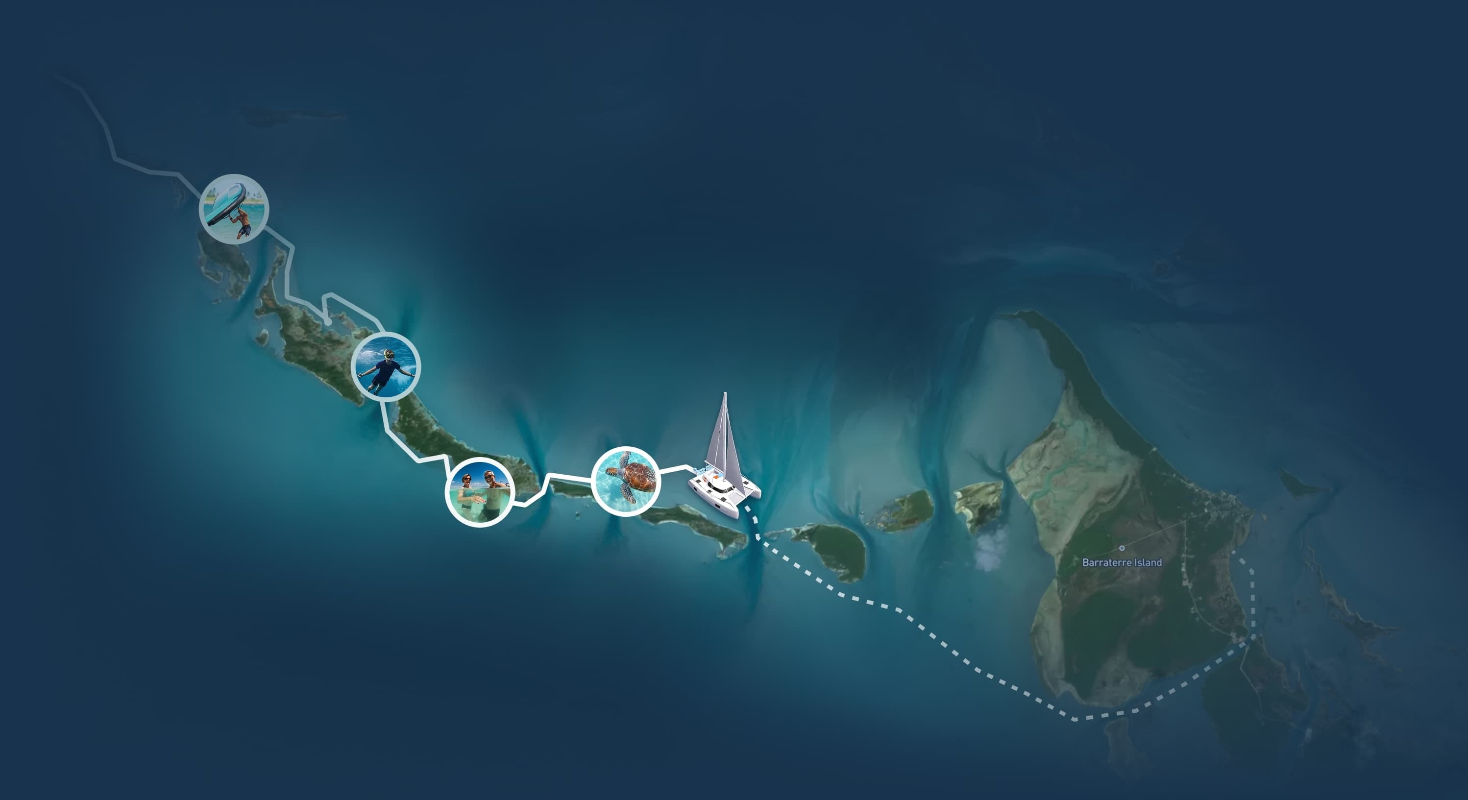
GPS Tracking
Share the excitement of every journey.
Keep friends, family and followers up to date with live GPS tracks, weather, N2K data, posts and videos.

Anchor Alert App
Monitor your boat & N2K data anywhere.
Protect your boat with real-time alerts for anchor drag, swing, rode and onboard NMEA 2000 data.

Over the Horizon AIS
300nm AIS on your chartplotter.
Get AIS visibility up to 300 nautical miles, giving hours of advance warning instead of minutes.

AI Polars
Polars tailored to your boat and sailing style.
The DataHub references real-time boat data to learn the way you sail your boat, creating hyper-accurate weather routing.

Powering the
PredictWind Ecosystem.
DataHub enhances key PredictWind pro-level apps and features with deeper functionality and improved performance, helping you stay safe and in control on the water.
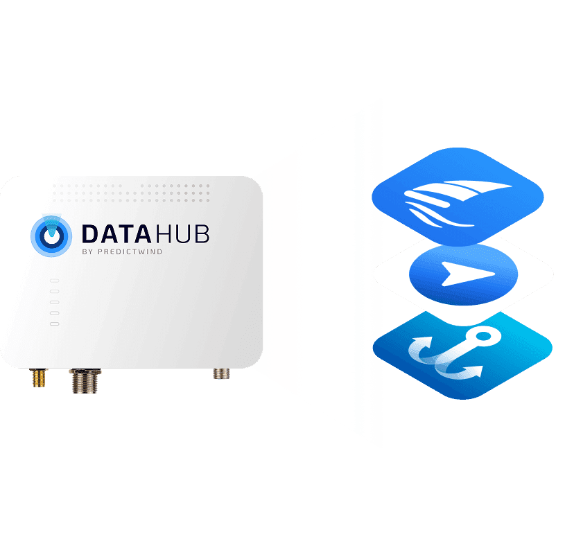
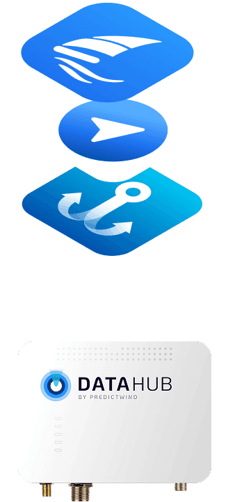
- PredictWind
- PredictWind Tracker
- Anchor Alert
- Man Overboard
Upgrade to the
DataHub Pro.
Step up to faster performance and Starlink LTE-ready* hardware with T-Mobile LTE connectivity available today. Experience the next generation of PredictWind's marine intelligence.

Compare DataHub models.
DataHub
Performance
Standard
WI-FI
70 Mbps
LTE / 4G Connection
Starlink DTC ready
MOB Watch App
Boat Battery Status
DataHub Connect Boat-Wide Remote Access
DataHub Pro
Performance
3x Faster
WI-FI
1 Gb/s (Wi-Fi 6)
LTE / 4G Connection
Starlink DTC ready
MOB Watch App
Boat Battery Status
DataHub Connect Boat-Wide Remote Access
* Starlink LTE (Direct to Cell) compatibility is subject to network availability, regulatory approvals, and third-party service enablement. PredictWind DataHub Pro hardware is designed to support future Starlink LTE connectivity; however, service availability, coverage, performance, and supported use cases will depend on Starlink and its cellular partners, including T-Mobile. PredictWind does not guarantee availability, timing, or functionality of Starlink LTE services. Starlink LTE required an external antenna.