Why is resolution important?
When a weather system comes into contact with hot or cold land masses, mountains, valleys or islands, these obstacles produce complex localised changes in weather. This creates dramatically different conditions from the surrounding areas which are often missed by low resolution forecasts.
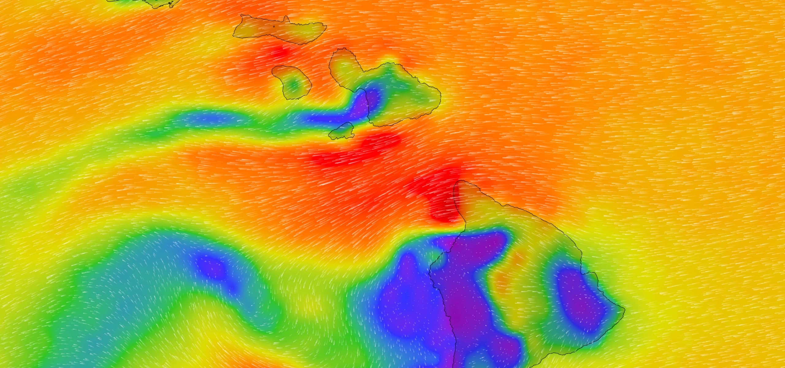
Localised effects
With high resolution maps, see funneling, thermals and wind shadows in detail like never before.


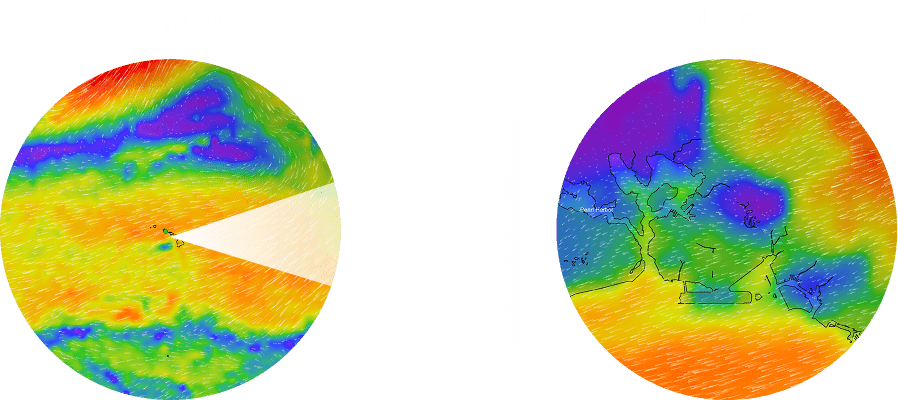
More data for better decisions
PredictWind's industry-leading forecasts deliver unmatched detail, from global weather patterns to local wind shifts. With more high-resolution models than ever, you can zoom in on your spot or route and see exactly what conditions to expect.