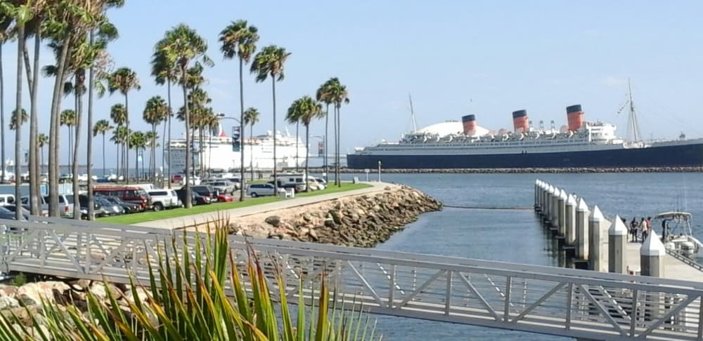
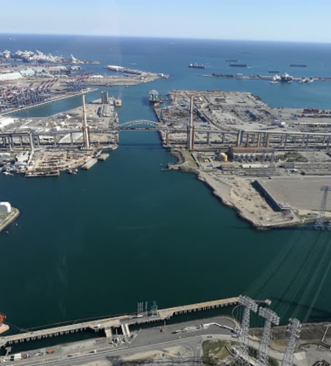
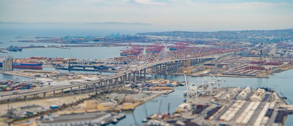
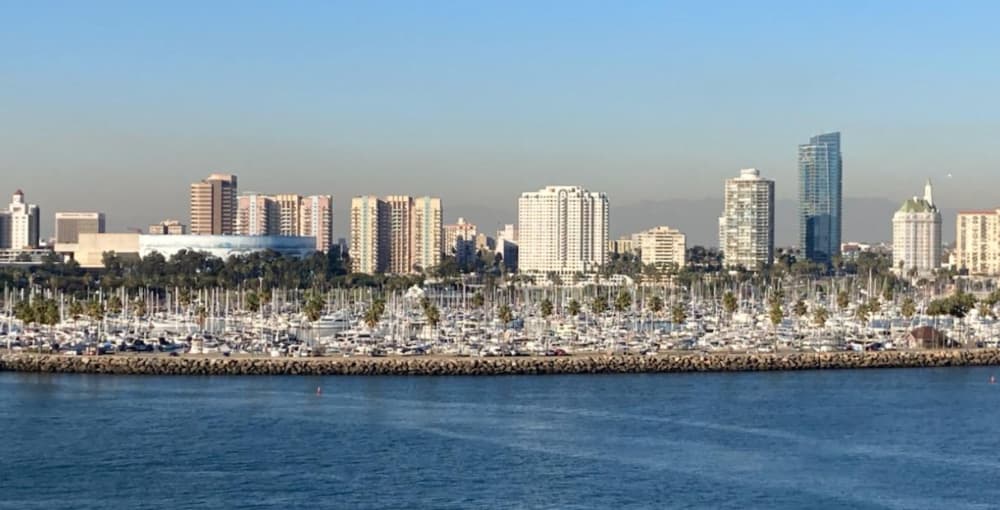
About Port of Long Beach
Port of Long Beach 415 W. Ocean Blvd. Long Beach, CA 90802 or P.O. Box 570 Long Beach, CA 90801 The Port of Long Beach, administered as the Harbor Department of the City of Long Beach, is a container port in the United States, that adjoins the Port of Los Angeles. The official UN/Locode of this port is USLGB. The Port of Los Angeles features 15 marinas with 3,736 recreational boat slips located in San Pedro and Wilmington. More than 400 liveaboard boaters call these marinas home. As with marinas nationwide, marina waters at the Port may be affected by particular boating activities that can be easily avoided, such as: *Improper hull cleaning and painting procedures can release metals into the water. *Oil changes and bilge water releases that may release polycyclic aromatic hydrocarbons (PAHs), a group of more than 100 different chemicals that are released into the water from burning coal, oil, gasoline, trash, tobacco, wood, or other organic substances such as charbroiled meat. *Illegal holding tank dumping can release bacteria into the water. *Illegal and inadvertent disposal of solid waste from marina docks and boat decks, resulting in trash entering the water. There are two public landings at the Port of Los Angeles: one located at Berth 84, south of the Los Angeles Maritime Museum in San Pedro, and one at Berth 186, the Wilmington Waterfront Promenade, near Banning’s Landing Community Center. Vessels, including boats, kayaks, and paddleboards may launch from either location, but may not be left unattended. No fishing is allowed at either location. The public landings are open to the public from 6 a.m. to 10 p.m. daily.
Facilities
Port Information
Telephone
Berth Sizes
Depth at MLW
Manoeuvrability
Channel Marking
VHF Channel
Port of Entry
Overseas Visitor Berths
Catamaran Berths
Dock Type
Style Side To
Style Stern To
Tidal Flow
Active Winter
Weather Forecast
 Light and variable.
 18°C
18°C Cloudy
- Light and variable.
- Increasing from 18 to 24°C
 S 0.7m at 13s period
 UV Index: 9 - Very High
- Cloudy
- SW 5 knots increasing to 8 knots.
- 23 to 25°C
- S 0.7m at 12s period
- UV Index: 10 - Very High
- Partly cloudy