About Capitainerie HAROPA PORT | Le Havre
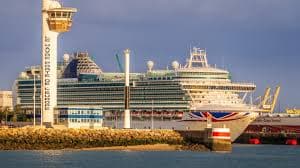
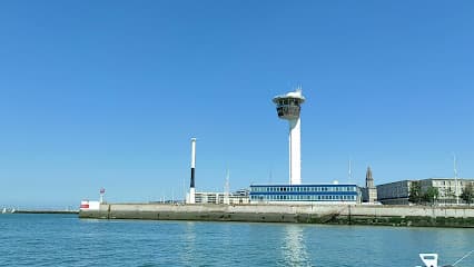
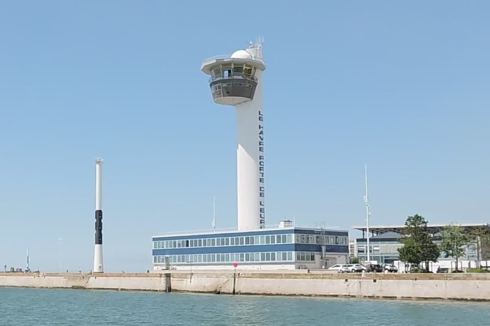
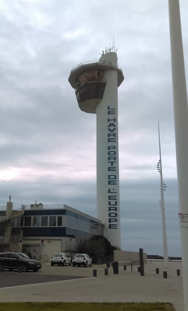
UN/Locode:FRLEH Coordinates: 49º 29' 9'' N, 0º 6' 25'' E Access to the Port: The Port of Le Havre is located on the northern coast of France in the Normandy region, at the mouth of the Seine River. Here are some maritime directions for reaching the port: Main Entrance: Access: The main entrance to the port is located via the Seine Channel. Buoyage: The entrance is well-marked with buoys and lights. Green buoys are to starboard (right) and red buoys to port (left) when entering. Lighthouses: La Hève Lighthouse: Located to the west of the port entrance, providing a significant visual reference. Southampton Dock Lighthouse: Situated near the port entrance and visible from the sea. VHF: It is essential to contact the Port of Le Havre Authority prior to arrival. VHF Channel 12 is used for communication with the port traffic control. The Harbor Master's Office of Le Havre oversees a significant maritime operation: It manages a team of 50 harbor officials and 34 maritime agents. Handles nearly 6,000 maritime and 2,000 river stops annually. For maritime regulations and updates, contact: GRAND PORT MARITIME DU HAVRE TERRE PLEIN DE LA BARRE CS 81413 76067 LE HAVRE CEDEX France Tel: +33(0)2 32 74 70 63 Fax: +33(0)2 32 74 70 69 Email: capinfo@havre-port.fr For other inquiries, contact: GRAND PORT MARITIME DU HAVRE TERRE PLEIN DE LA BARRE CS 81413 76067 LE HAVRE CEDEX France Access port of Le Havre: 3878 Tel: +33(0)2 32 74 74 00 (switchboard) Fax: +33(0)2 32 74 74 29 The Grand Port Maritime du Havre plays a crucial role in facilitating foreign trade for France and the European Union, extending beyond its economic, human, and environmental responsibilities within its territory. https://www.haropaport.com/sites/default/files/media/downloads/guide_du_port_du_havre.pdf
Facilities
Port Information
Telephone
Berth Sizes
Depth at MLW
Manoeuvrability
Channel Marking
VHF Channel
Port of Entry
Overseas Visitor Berths
Catamaran Berths
Tidal Flow
Active Winter
Weather Forecast
 NW 15 knots. Gusts up to 20 knots.
 19°C
19°C Sunny
Sunny
- NW 16 knots decreasing to 13 knots. Gusts up to 21 knots.
- 19°C
 NW 0.7m at 4s period
 UV Index: 0 - Low
- Sunny
- W 9–14 knots. Gusts up to 21 knots.
- 17°C
- NW 0.7m at 4s period
- UV Index: 0 - Low
- Sunny